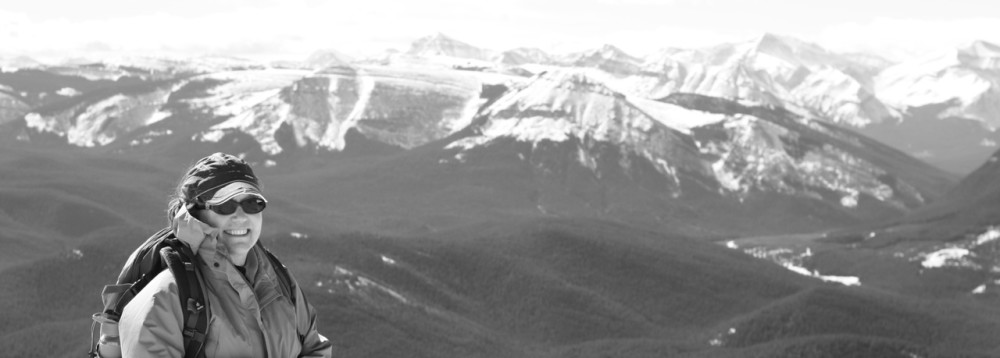
Named for the feral horses that roam the front ranges and foothills along the Elbow River, Mustang Hills is a hidden hiking area with spectacular views. Open, grassy slopes offer a panorama of Quirk Ridge, Forgetmenot Ridge, Banded Peak, Outlaw Peak, Mount Cornwall and Mount Glasgow.

Panoramic views from the Mustang Hills. (Photo: M.Kopp)
Starting at the parking lot at Cobble Flats, we followed the old highway as it meandered steadily uphill to a cairned path leading through the forest to a large open grassy meadow. At the top end of the meadow, the path continued up through the trees to another old road and a spot that matched the guidebook description.

Quirk Creek behind the hiking hound. (Photo: M.Kopp)
From the tattered strip of flagging tape and fallen down cairn, it was easy uphill on a well-defined trail to West, Centre and East Hills. Calypso orchids bloomed in the duff of a pine forest floor. Early blue violets, Jacob’s Ladder, Rock jasmine, and Wild strawberry were in full glory. No visuals on the mustangs, but tracks and droppings everywhere.

Jacob’s Ladder in full bloom. (Photo: M. Kopp)
The descent to the Elbow River off East Hill is not well used and it is easy to lose the route. We followed flagging tape, blazes and occasional cairns until they disappeared and then just worked our way down the hill until we hit the trail again near a small creek. From here, the route is once again well defined – even with the flood damage of last year.
For a trail description and map, check out the Kanananskis Trails blog.